NYCEDC Financial District & Seaport Climate Resilience Master Plan
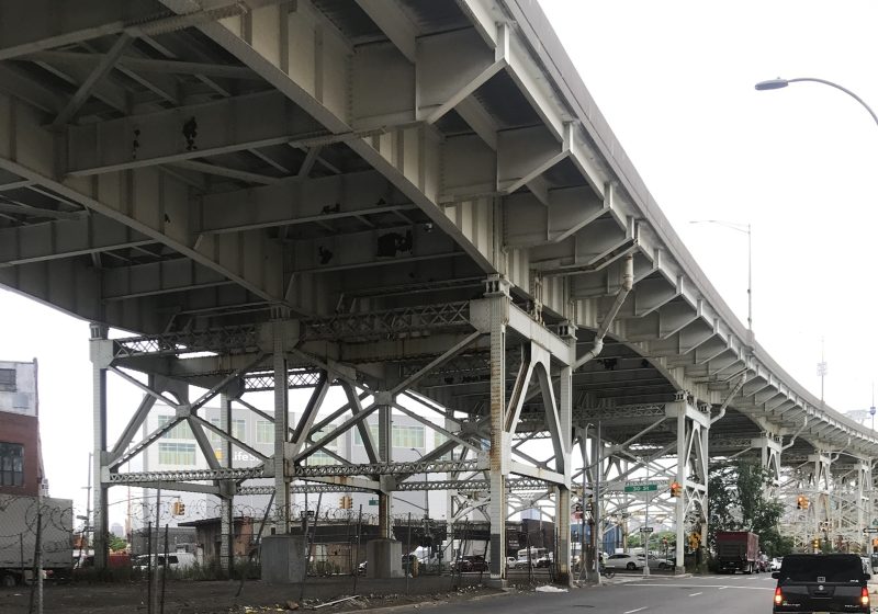
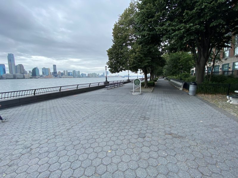
Shoreline Extension in a Critical NYC Location

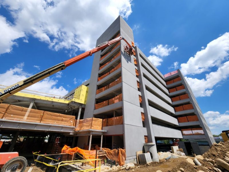
The Battery Park City Authority (BPCA) is undertaking the creation of an integrated coastal flood risk management system, known as the Combined North and West PDB Project. True is working with the consulting engineering team to develop background technical information, perform geotechnical investigations; topographic, utility and sewer surveys, environmental and hazardous materials surveys; and regulatory permitting. True is also preparing technical requirements to be included in the Design-Build RFP and contract and preparing relevant chapters of the Environmental Impact Statement (EIS).
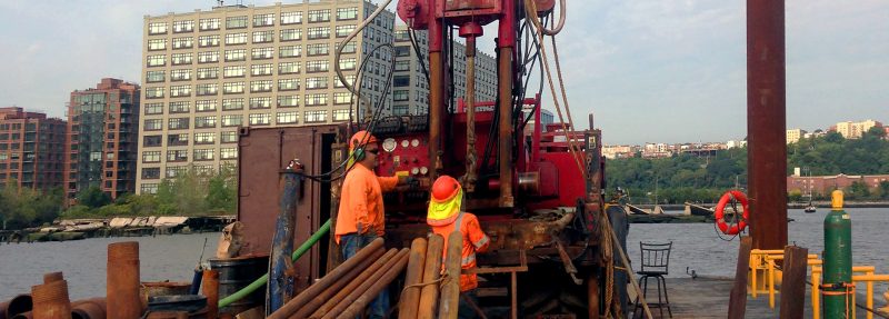
Our geotechnical investigation included a test boring location plan, advancement of 20 geotechnical borings and 12 permeability borings, and six monitoring wells, and preparation of a Geotechnical Assessment Report with findings and conclusions.
The environmental investigation included preparation of a Corridor Environmental Site Assessment report. True also performed a hazardous materials investigation and provided regulatory permitting. True provided land surveying services including boundary, topographic, bathymetric and utility. True utilized conventional and 3D laser scanning technologies.
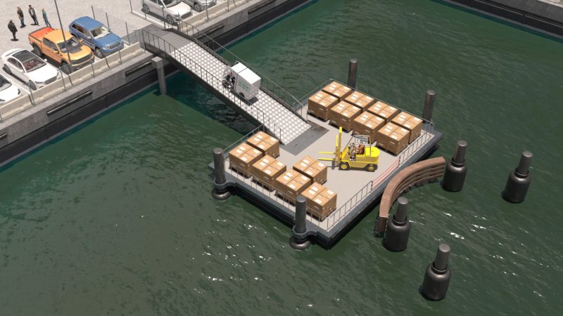
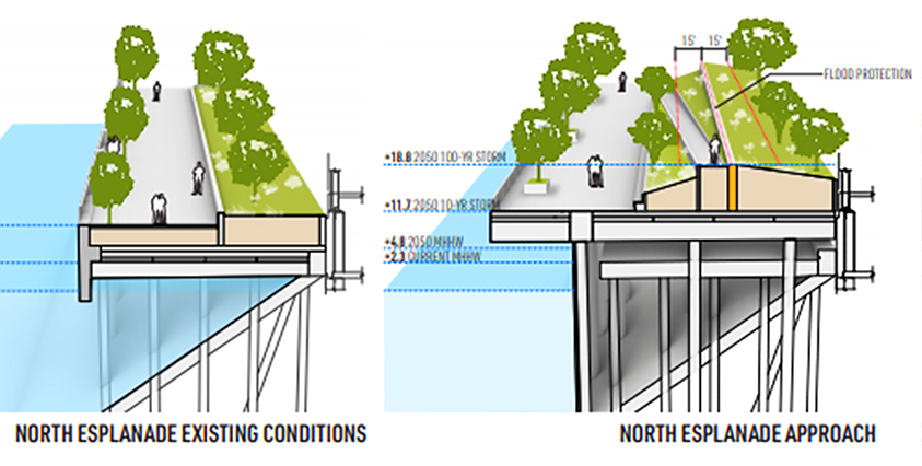
Our team mapped out existing conditions and our proposed approach to improve the area.
Making sustainable development a reality for people, the planet, and economic progress. We let our portfolio speak for us.