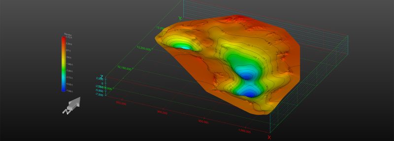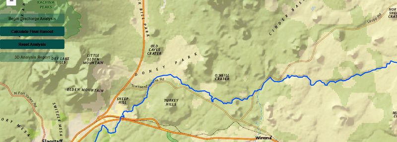
ADEQ 3D Analysis Web Application
Advanced Tools for Environmental Quality
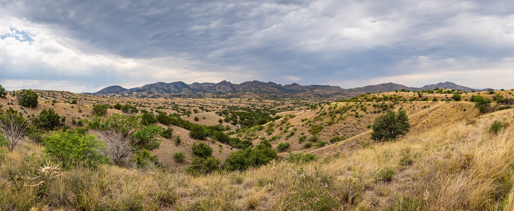
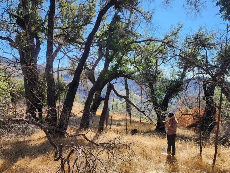
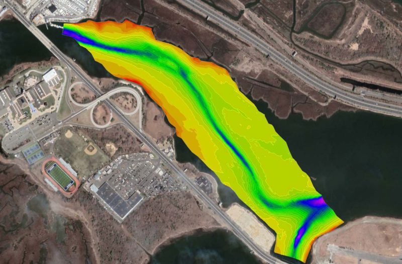
In early 2025, our team partnered with the Arizona Department of Forestry and Fire Management (DFFM) to develop a comprehensive Community Wildfire Protection Plan (CWPP) for Santa Cruz County. The project focuses on reducing wildfire risk through advanced fire behavior modeling, GIS-based risk mapping, and stakeholder engagement strategies. Using U.S. Forest Service methodologies and ArcGIS Pro, we analyzed topography, vegetation, fuel moisture, and wind patterns to classify landscapes into six wildfire risk levels. Public outreach included in-person meetings, online surveys, and interactive mapping exercises to prioritize mitigation efforts in Wildland–Urban Interface zones. This initiative supports ecosystem restoration, prescribed burns, and invasive species removal, ensuring safer communities and healthier forests across Arizona.
Making sustainable development a reality for people, the planet, and economic progress. We let our portfolio speak for us.