ADEQ 3D Analysis Web Application
Advanced Tools for Environmental Quality
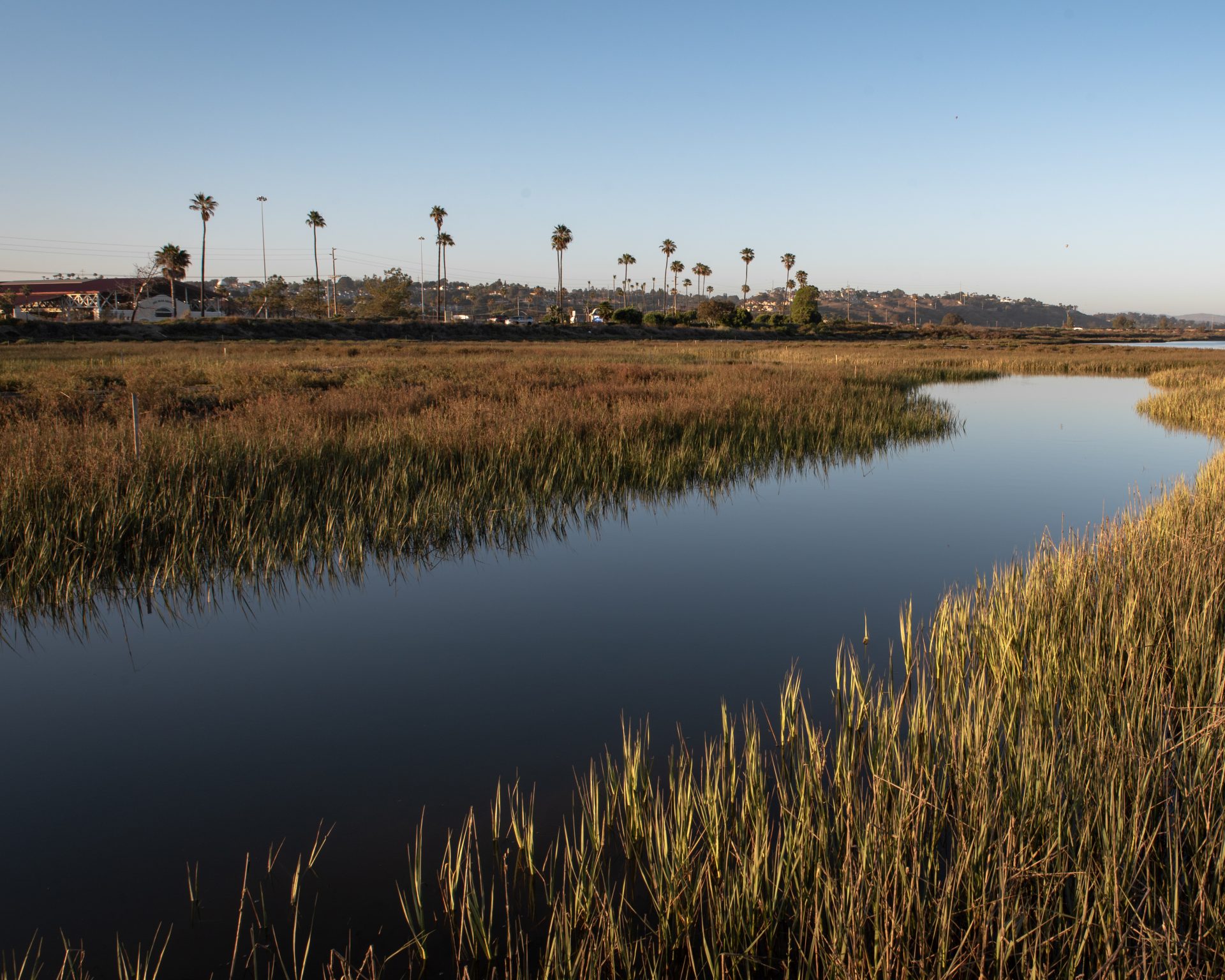
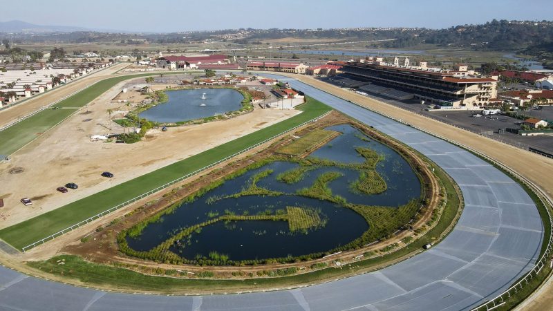
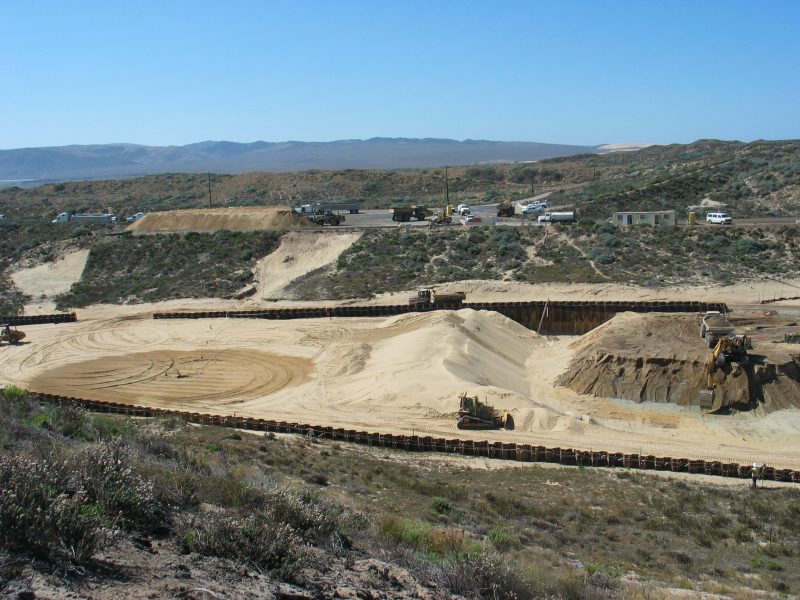
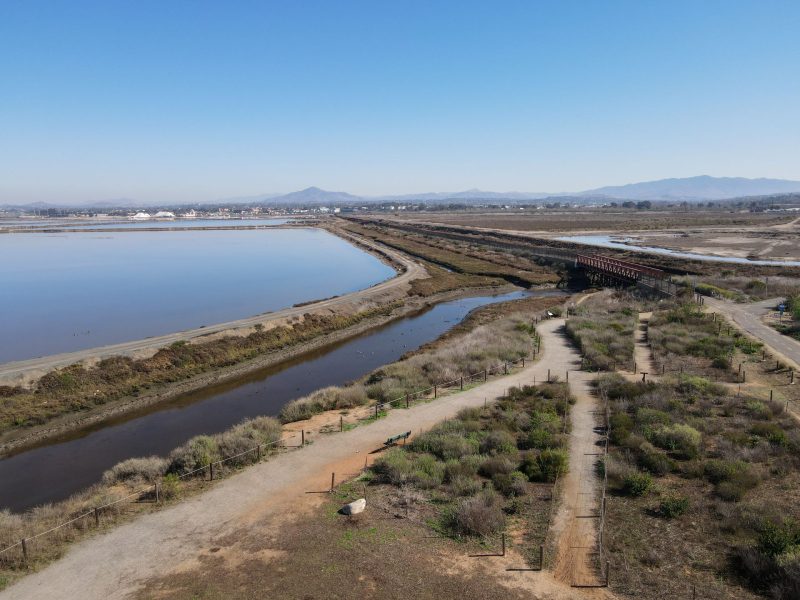
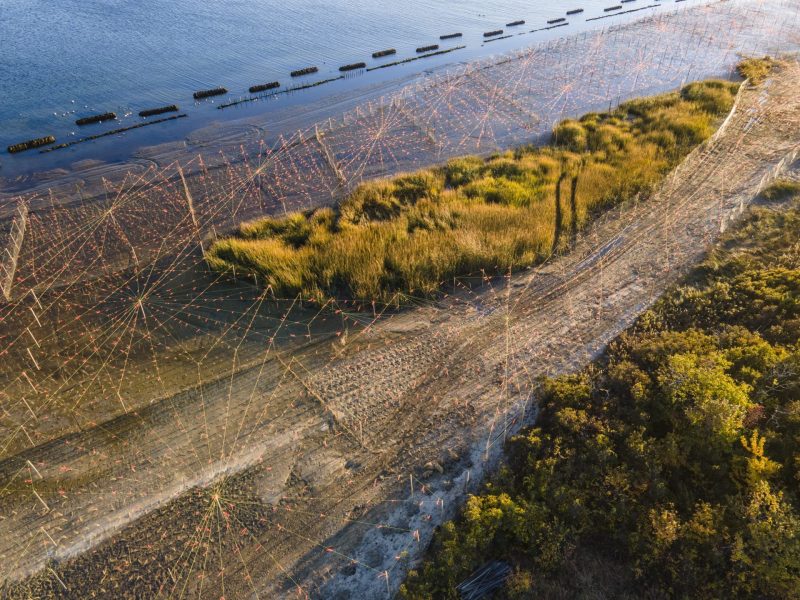
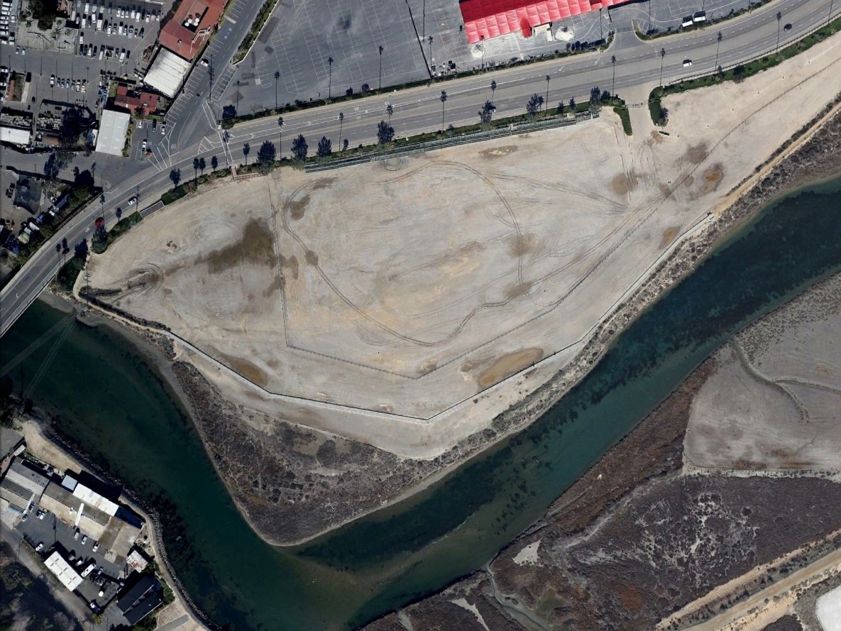
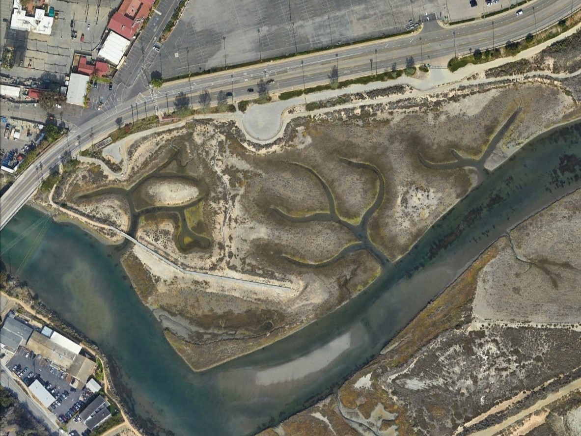
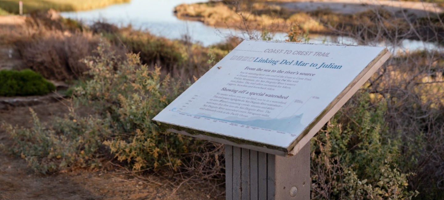
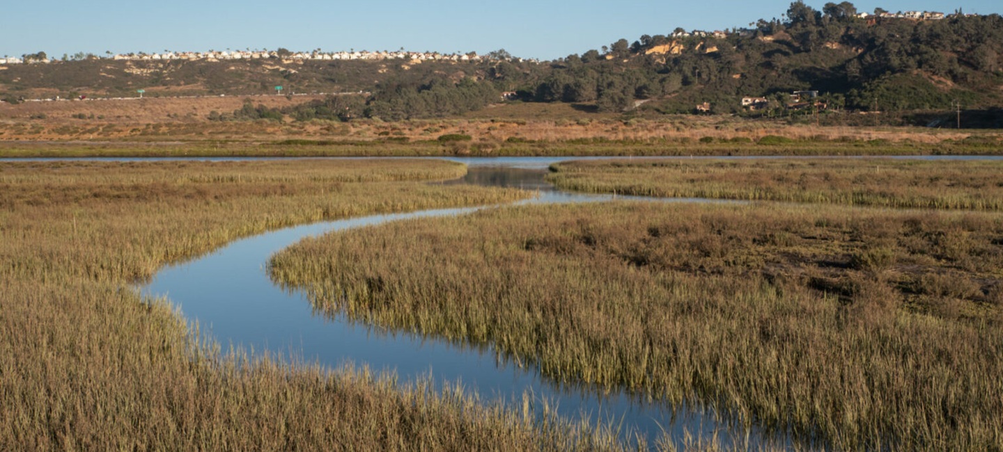
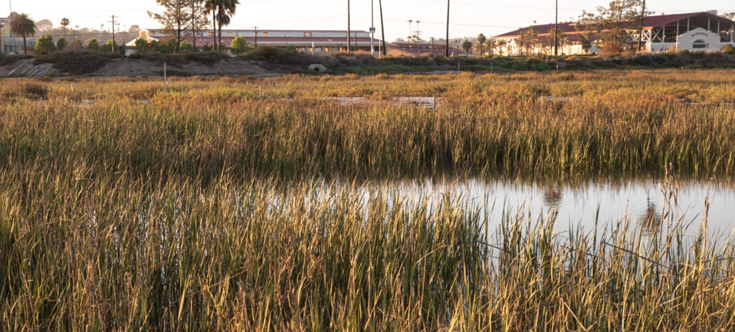
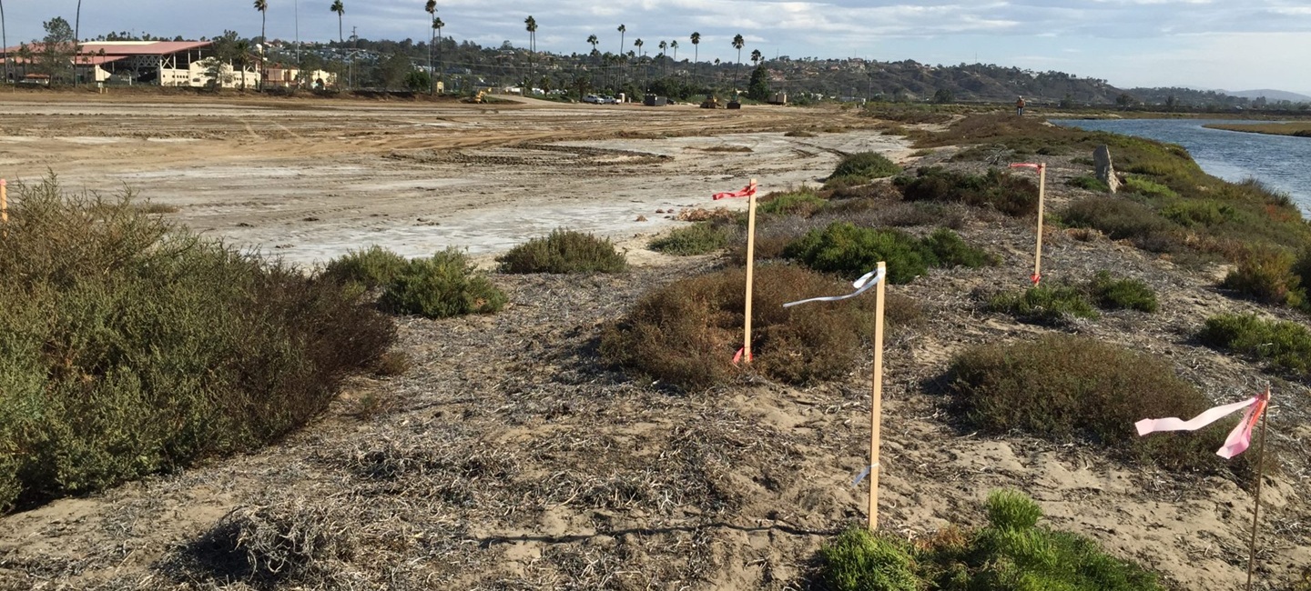
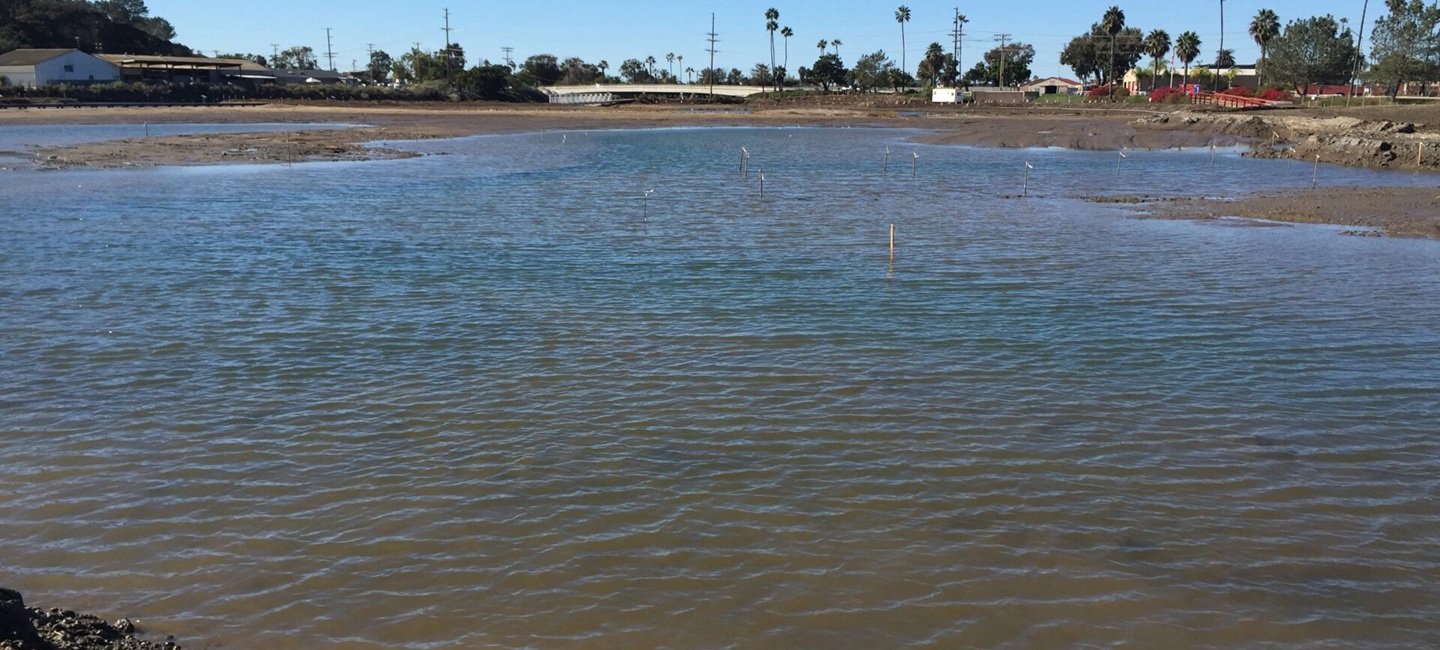
True Environmental provided ecological expertise for the implementation of an 11-acre tidal salt marsh and upland habitat restoration plan for a former parking lot. Previously used by the Del Mar Fairgrounds, the site is now a key feature of the San Dieguito Lagoon along San Diego’s Coast to Crest trail system. Our team of ecologists and landscape architects created ecologically informed modifications to a restoration plan previously developed by another consultant that had failed to establish. Our modifications ultimately led to successful project implementation.
Additional tasks included development of solutions to improve the quality of highly saline soils prior to plant installation to ensure better plant establishment, collection of native vegetation seeds, oversight of non-native species removal, plant installation oversight, and construction oversight.
True, as part of the Harris & Associates team, is now leading the ongoing monitoring and adaptive management of an 11-acre tidal salt marsh restoration site within the San Dieguito Lagoon. Previously used as a dirt parking lot by the Del Mar Fairgrounds, the site was restored by Marathon Construction and our team into a native salt marsh and upland habitat partially as mitigation for previous wetland impacts and partially as “trade” for the Fairground’s continued use of an existing nearby overflow parking lot. Following salt marsh restoration, True was conducting the associated mitigation monitoring and management until the project was placed on pause during the COVID-19 pandemic.
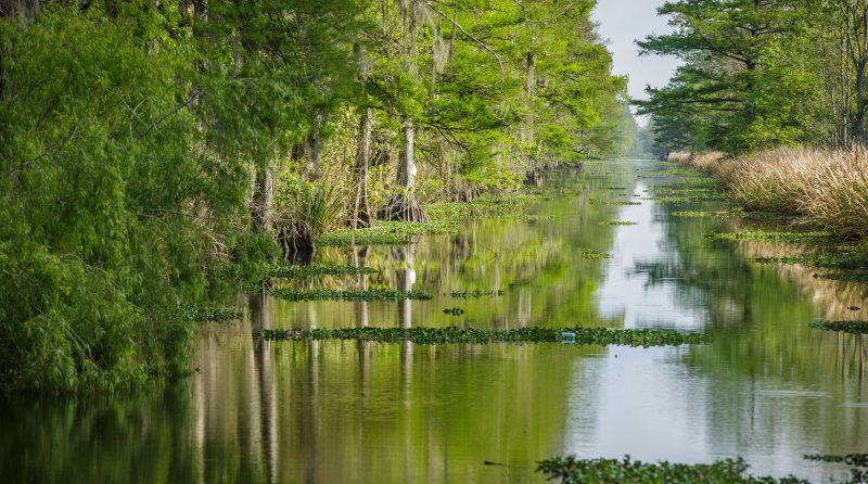
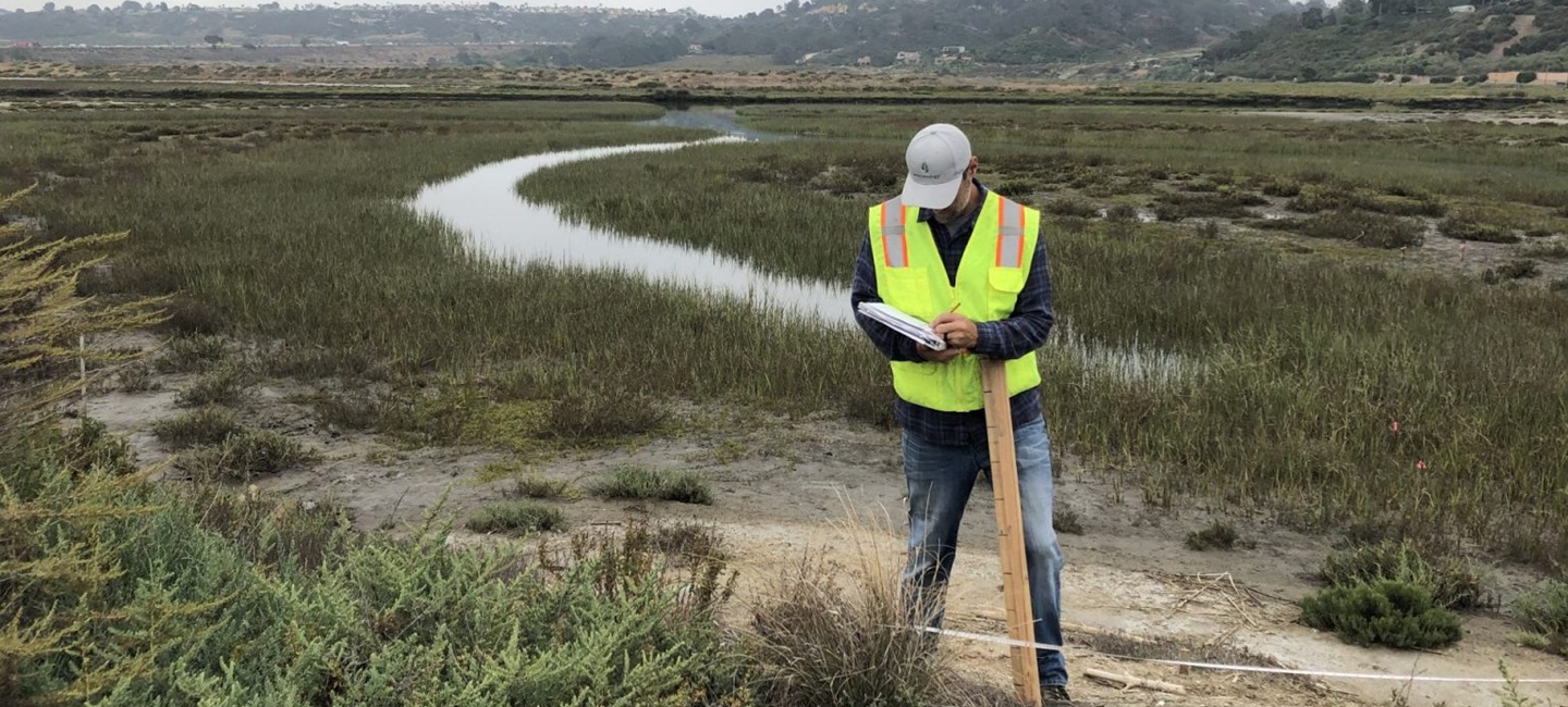
In 2023, the monitoring and management project was restarted to address the lost years of monitoring data and to ensure the site meets performance criteria. We have since conducted various field and desktop site assessments to fill data gaps, including the use of drone imagery and orthomosaic mapping to establish measures of vegetation coverage and density. This includes the submission of quarterly qualitative and annual quantitative reports to the California Coastal Commission and the US Army Corps of Engineers.
Making sustainable development a reality for people, the planet, and economic progress. We let our portfolio speak for us.