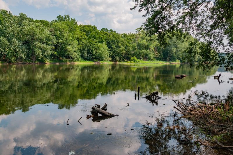
Fairfax County Flood Mitigation, Monitoring & Dam Safety Program
Stormwater planning for flood mitigation.
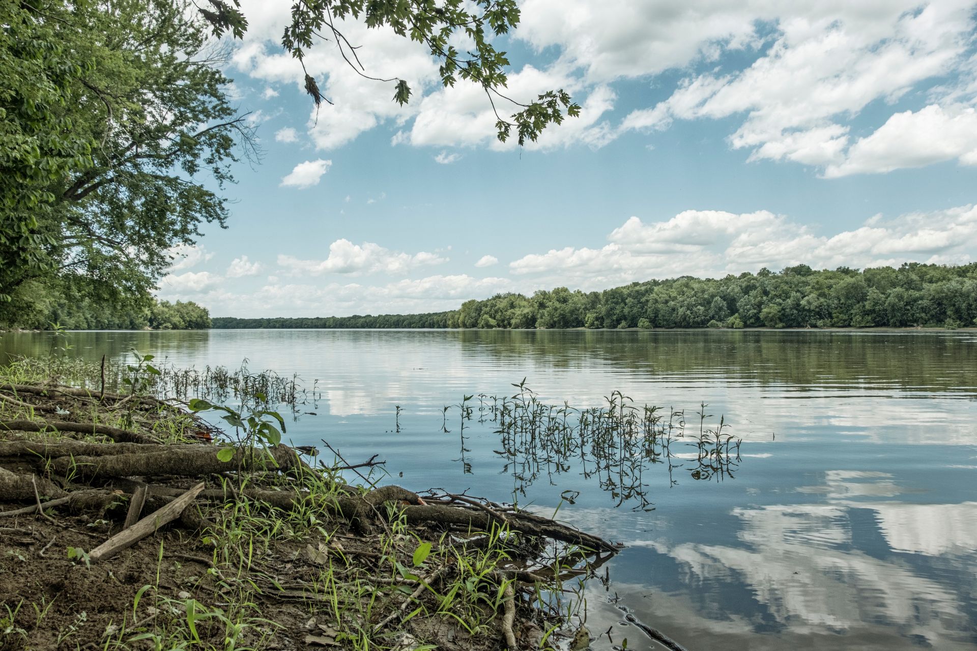
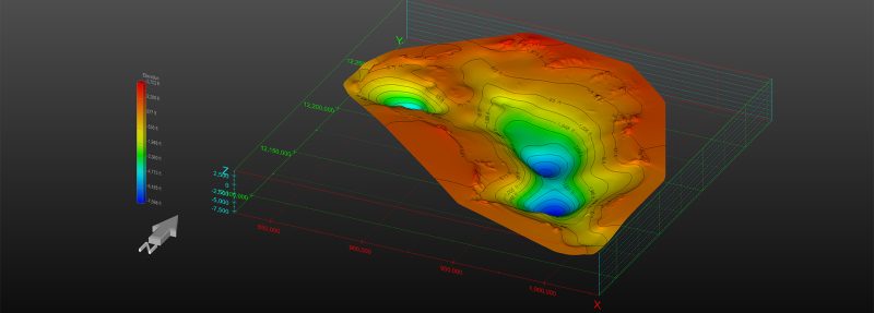
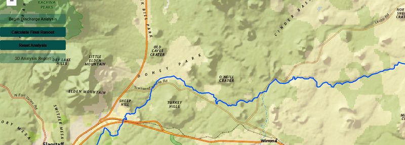
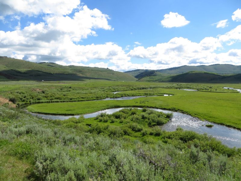
The City of Charlottesville’s Department of Public Works tasked True Environmental with developing a detailed stormwater model for the Moores Creek watershed, which spans four square miles within the City and nearly 30 additional square miles in Albemarle County. The project aimed to analyze runoff and drainage behavior under existing conditions, assess the impact of future rainfall projections due to climate change, and provide the City’s engineering team with tools to apply and maintain the models. This effort required coordination with City staff and the University of Virginia to ensure accurate data processing and modeling.
True built the model from the ground up using high-resolution 2D modeling for the urbanized areas of Charlottesville and simplified 1D modeling for the largely undeveloped Albemarle County portion. Data was sourced from the City’s stormwater inventory, public GIS hubs, historical plans, and targeted surveys. The model was calibrated using rainfall data from a significant storm event on April 28, 2023, ensuring accuracy and reliability. These steps produced a coordinated and detailed representation of watershed conditions with smooth, stable flood wave simulations and minimal computational error.
As final deliverables, True provided nine model packages: eight applying standard design storms (four with current rainfall data and four with future climate projections) and one using historical rain gauge data. These models offer the City a powerful tool for planning and resilience, enabling informed decisions about stormwater infrastructure and flood mitigation strategies. The project was partially funded by a Virginia CFPF grant administered by the Virginia Department of Conservation and Recreation, reinforcing its importance for long-term climate adaptation and watershed management.
The team used high-resolution 2D modeling to represent drainage within the Moores Creek watershed, which covers approximately four-square miles of the City and almost thirty additional square miles of Albemarle County.

Making sustainable development a reality for people, the planet, and economic progress. We let our portfolio speak for us.