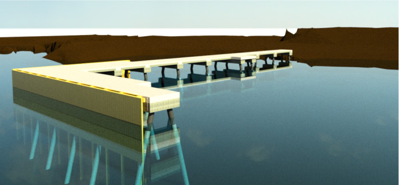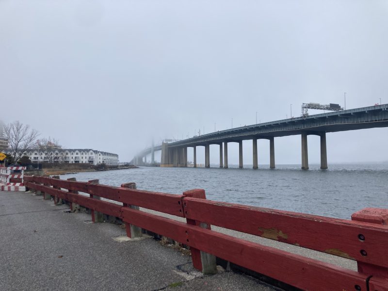
Battery Park Flood Resiliency
Managing Risk Through Technical Expertise

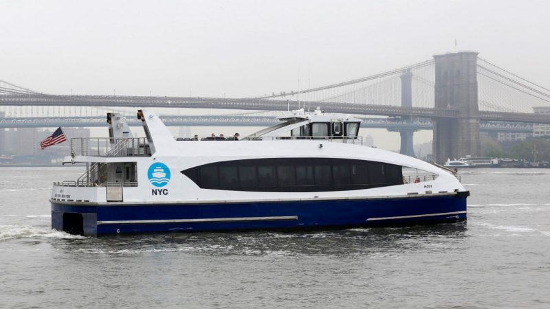
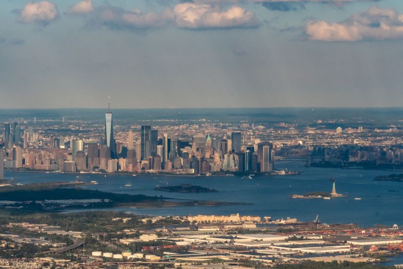
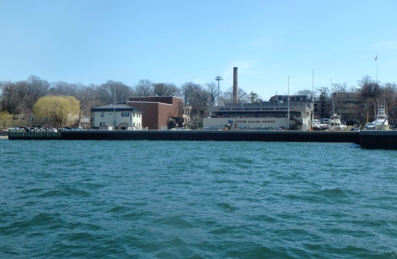
True is providing marine engineering and environmental services associated with field surveying and GIS mapping support services to for the NYCEDC Phase III mapping of the previously unmapped waterfront in New York City. Since 2001, the NYCEDC has been working to develop an accurate map of the New York City waterfront to assist in understanding management and jurisdiction of NYC-owned waterfront properties, prioritizing inspection and rehabilitation priorities, and developing underutilized properties.
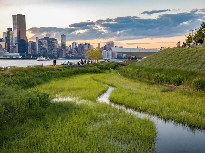
This work involved two phases of mapping and the redevelopment of a new computerized waterfront facilities maintenance management system that connects the GIS waterfront map to an internal database. However, the first two phases did not include private and undeveloped shorelines and it became necessary to perform this outstanding task (Phase III) after Superstorm Sandy affected all of New York City’s shoreline. Therefore, the purpose of the project is to complete the picture of the shoreline in order to provide NYCEDC with a comprehensive understanding of all the waterfront structures and associated properties in the five (5) boroughs, including both public and privately held parcels, and provide valuable information for future planning related to resiliency.
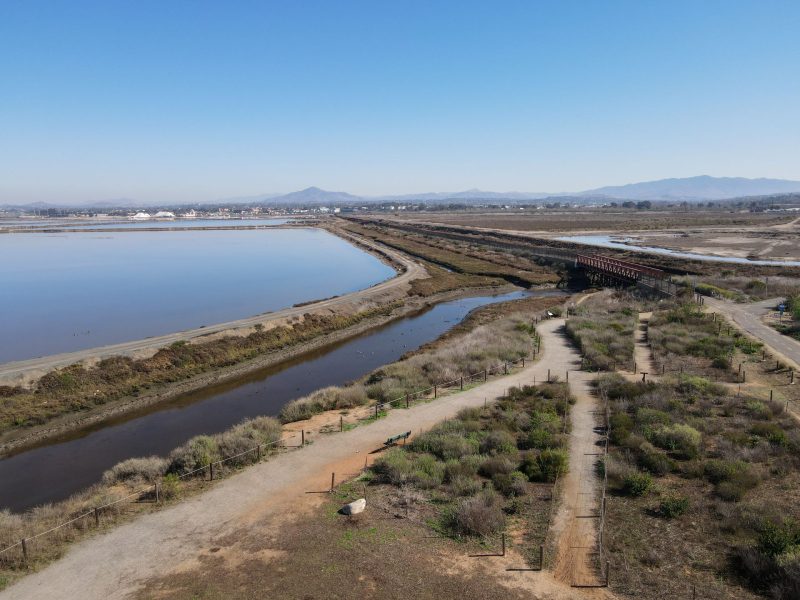
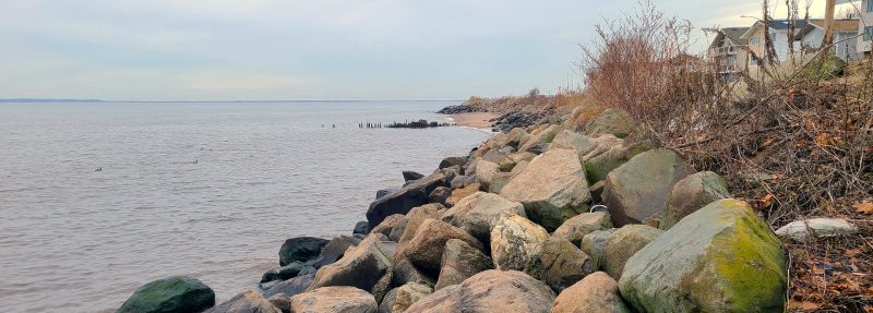
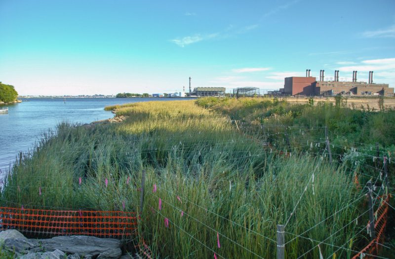
True is supporting the OCC Team assisting with field mapping and surveying including providing a boat and an operator, providing guidance on wetland mapping procedures, and obtaining street end elevations for a city-wide effort to inventory the shorelines of New York City for purposes of planning future resiliency efforts.
Making sustainable development a reality for people, the planet, and economic progress. We let our portfolio speak for us.